PQBWMA Brant Count 2022 Summary
Estimated Daily Brant Count Report – 2022
By the Arrowsmith Naturalists
For THE NATURE TRUST OF BRITISH COLUMBIA
James Goodwin
Count Coordinator and Compiler
The 2022 Brant Primary Counts covered the full length of the Parksville Qualicum Beach Wildlife Management Area (PQBWMA). The ten primary counts (Table 1) took place weekly from February 22, to April 26, during daylight hours. The PQBWMA was divided into three areas
and each area was assigned a team of 2 – 3 observers. All team counts were within the same two-hour window to avoid double counting where possible. Counts were ideally taken at approximately mid-tide (3.4M) when food sources were exposed on the beach or floating in
shallow water.
Count locations included the following named places which were also used in previous counts within the PQBWMA and Strait of Georgia (SOG).
Area 1: Little Qualicum River Estuary, Marshall Stevens Wildlife Area (MSWA), Surfside Dr. West and East, Kincade Rd., Qualicum Beach viewing stand, Seaside Nature Park (SNP), Qualicum Beach, Beach Creek, Judges Row.
Area 2: Seacrest Place, Butterball Dr, Johnstone Rd, Admiral Tryon Blvd. East and West, Columbia Beach, French Creek Marina.
Area 3: Parksville Community Park (PCP), Parksville Bay, Englishman River mouth, Mariner Way, Arlett Rd., Craig Bay, Rathtrevor Provincial Park, Brant Point, Madrona Point.
Brant Count Volume for 2022
Brant may stay in the PQBWMA for 1 – 2 days or as long 2 weeks, therefore we cannot use the total count of all Brant seen on all our Brant Counts. Instead, we take the yearly total on 6 peak counts and regress the volume according to a method courtesy of Sean Boyd, Environment
Canada.
All Brant counted during the 10 primary counts = 6277
The six peak counts: 448+410+485+1285+1541+848= 5017
Regressed volume for 2022 = 3761 (5017 x 0.67 + 400)
Regressed volumes for 6 peak counts:
2015 = 9091 2019 = 5586
2016 = 4710 2020 = 6597
2017 = 12,202 2021 = 5625
2018 = 12,693 2022 = 3761
Brant volumes peaked Apr.05 to Apr. 19 then dropped dramatically. This seasons Herring Spawn was the lowest in years. Commercial fishermen were unable the fill their quotas. Even though quotas had been reduced from 2021 levels. Most of the spawning was north of Nile Creek, off Hornby Is. and near Comox. Lack of spawning Herring in local waters left no herring eggs piled on the tide line or drifting on
the water surface to entice Brant to stay. Lack of eel grass along the high tide line possibly indicates there was less feed for migrating
Brant as well.
Disturbances to wildlife. Disturbances to feeding Brant by walkers and dogs, on and off leash, continues to be a problem. Improved signage at beach accesses and public education seems to have reduced the number of dogs on the beaches but there are still numerous disturbances by people enjoying a walk on the beach at low tide. Walkers that are totally unaware they are chasing up the birds before them.
Bald Eagles are also a source of frequent disturbances.
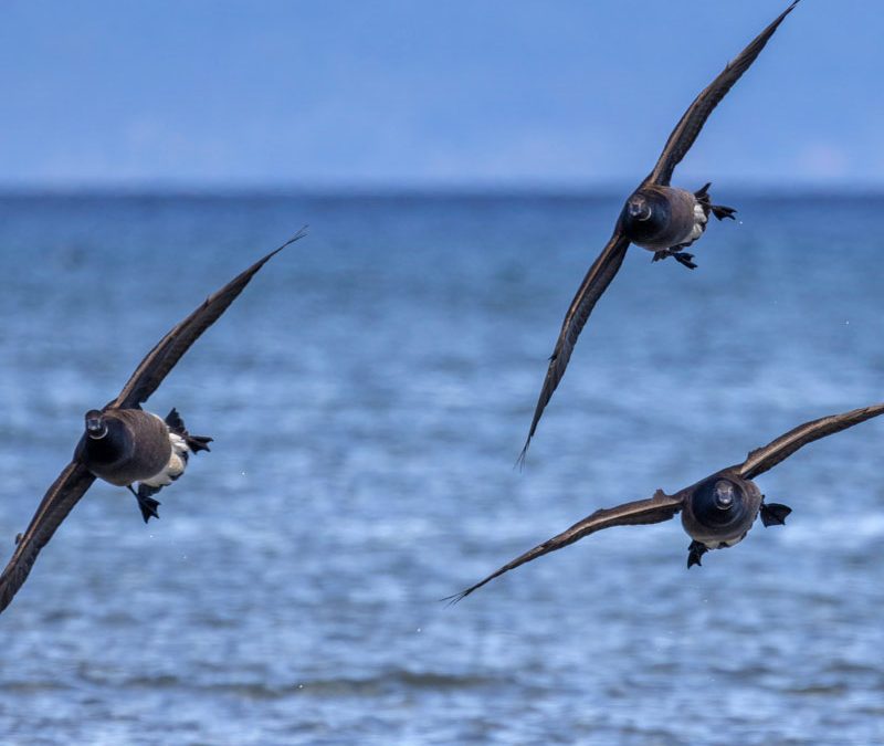
Photo by Angie Ooms